ArcGIS
Geospatial Governance Program
Revolutionizing Geospatial Management: Streamlining Processes, Enhancing Quality, and Saving Thousands of Hours Annually.
A selection of some of my favorite and most challenging projects from my career.
Revolutionizing Geospatial Management: Streamlining Processes, Enhancing Quality, and Saving Thousands of Hours Annually.
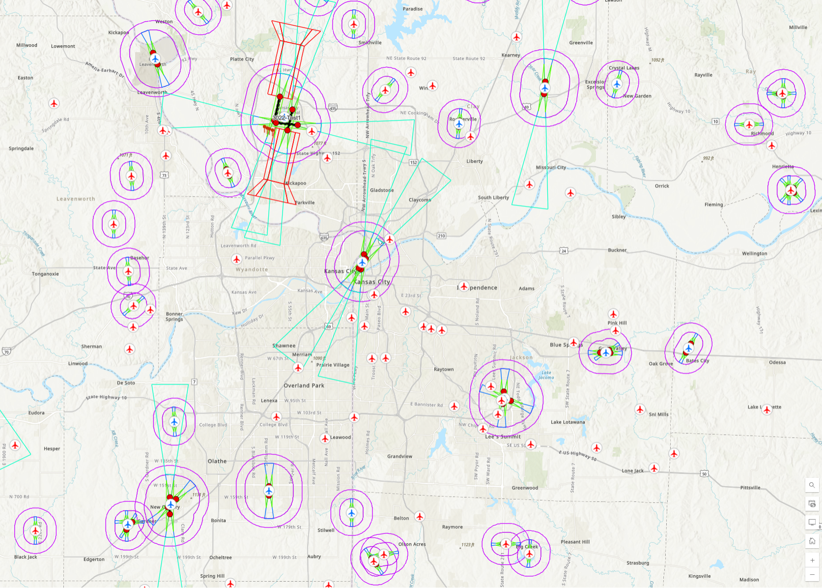
Utilizing data from the FAA, airspace protection surfaces are modeled and made available to project teams.
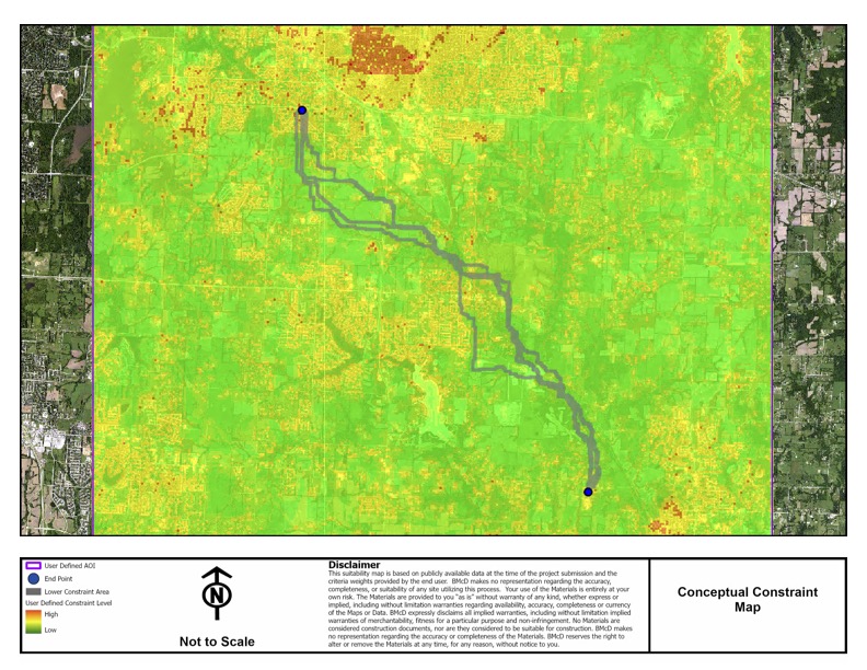
An application to create conceptual feasibility maps for various types of energy projects
Wolf Creek to Blackberry transmission line routing and siting study.
Utilizing data from the FAA, airspace protection surfaces are modeled and made available to project teams.
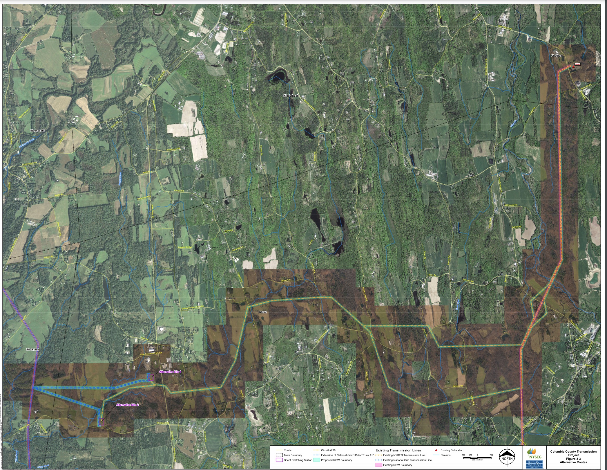
Columbia County transmission line routing and siting study.
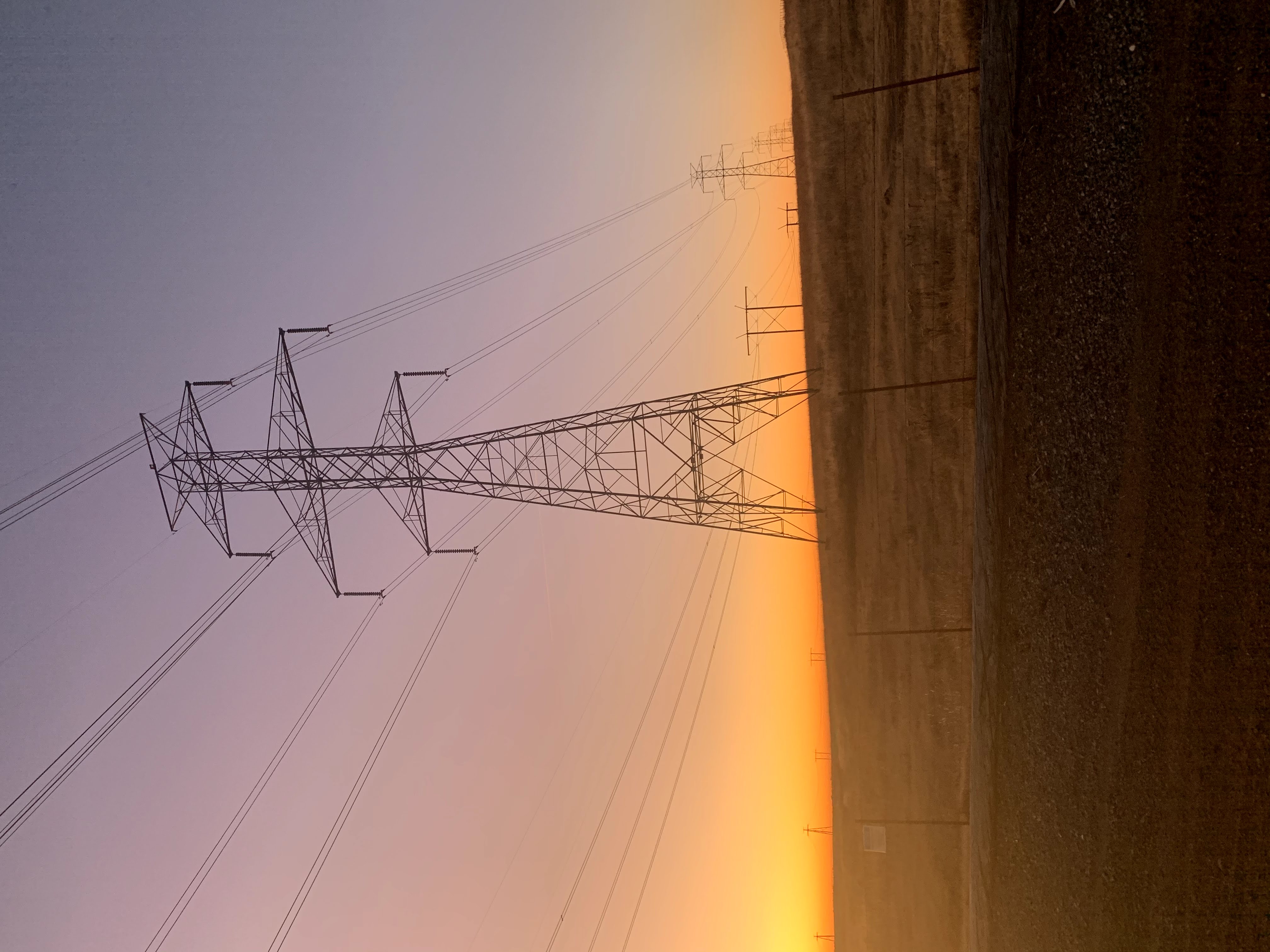
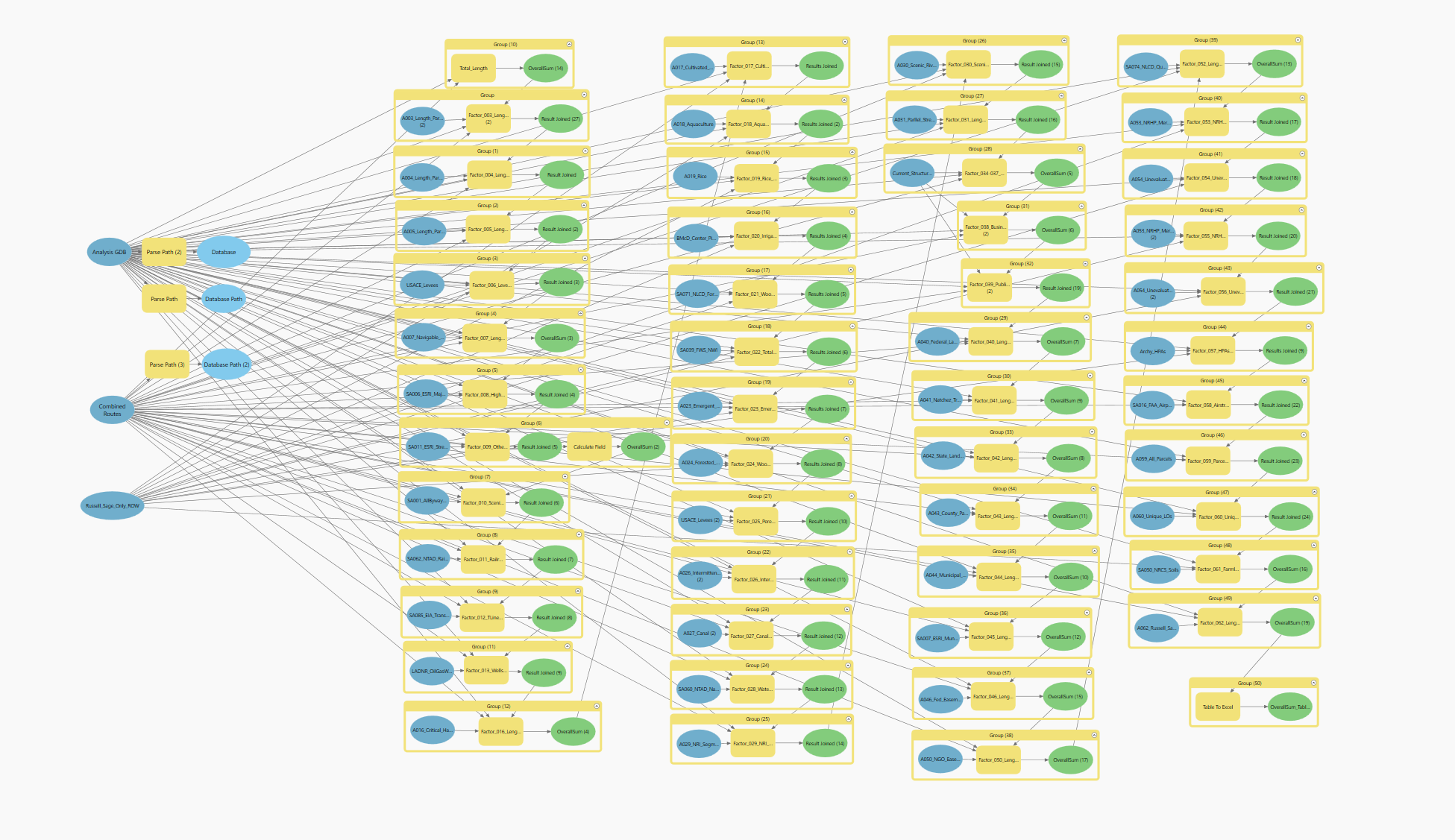
Revolutionizing Transmission Line Routing and Siting with Advanced Data Analysis and GIS Modeling to Save Time and Enhance Project Outcomes.